
ThurGIS
3.9star
92 reviews
10K+
Downloads

Everyone
info
About this app
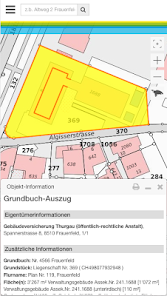
Who is the owner of this parcel? Is this area building land? Find out!
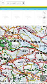
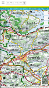
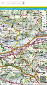
Welcome to the geographic information platform of the Canton of Thurgau. ThurGIS is the abbreviation for "Thurgauer Geographic Information System" and offers you two-dimensional views with georeferenced and interactive maps.
Hints:
==========
* The offered maps and data are limited to the canton of Thurgau
* The individual queries about the owner of a parcel are limited to 50 per hour.
* For the use of the ThurGIS a mobile data connection is necessary. This may incur fees.
features:
==========
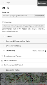
* Query owner information of parcels
* Query zoning plan information of plots
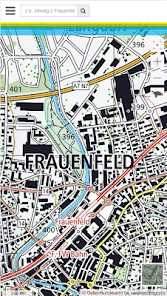
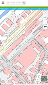
* Different map views: Orthophoto, basemap, hybrid, zone map
* Search by location, street, parcel
* GPS localization
* Query about current GPS position or your own chosen location
Welcome to the geographic information platform of the Canton of Thurgau. ThurGIS is the abbreviation for "Thurgauer Geographic Information System" and offers you two-dimensional views with georeferenced and interactive maps.
Hints:
==========
* The offered maps and data are limited to the canton of Thurgau
* The individual queries about the owner of a parcel are limited to 50 per hour.
* For the use of the ThurGIS a mobile data connection is necessary. This may incur fees.
features:
==========
* Query owner information of parcels
* Query zoning plan information of plots
* Different map views: Orthophoto, basemap, hybrid, zone map
* Search by location, street, parcel
* GPS localization
* Query about current GPS position or your own chosen location
Updated on
Safety starts with understanding how developers collect and share your data. Data privacy and security practices may vary based on your use, region, and age. The developer provided this information and may update it over time.

No data shared with third parties
Learn more about how developers declare sharing

This app may collect these data types
Personal info, Photos and videos and 4 others

Data is encrypted in transit

Data can’t be deleted
Ratings and reviews
3.9
92 reviews

A Google user
- Flag inappropriate
August 7, 2013
Geniale App!
What's new
Verbesserungen und Fehlerbehebungen