OCFL Atlas
2.5star
6 reviews
1K+
Downloads

Everyone
info


About this app
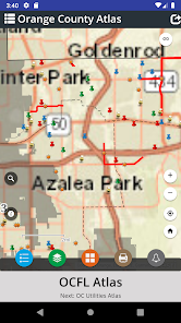
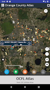
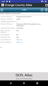
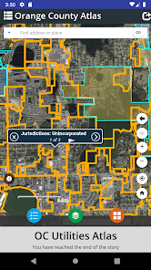
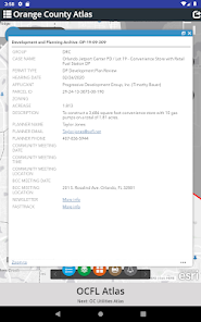
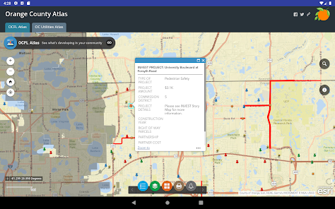
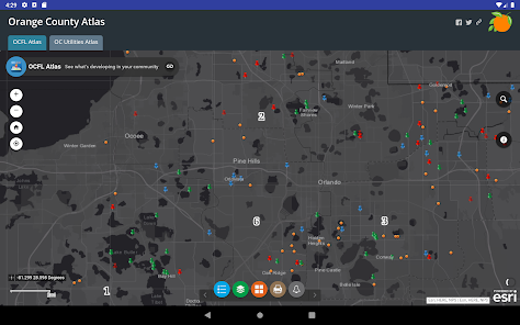
OCFL Atlas is an application that encourages citizens to become more engaged in the growth of their community by pinpointing new construction projects in Orange County. This app offers citizens the ability to access real-time development data, board meeting details and project locations. Users can zoom into their current location, search by address or pan around Orange County to see new projects. Public notification is required for development applications to ensure citizens have the opportunity to express opinions prior to a public hearing. OCFL Atlas is designed to work on most devices including desktop computers, smartphones and tablets.
Updated on
Safety starts with understanding how developers collect and share your data. Data privacy and security practices may vary based on your use, region, and age. The developer provided this information and may update it over time.

No data shared with third parties
Learn more about how developers declare sharing

No data collected
Learn more about how developers declare collection
Ratings and reviews
2.8
5 reviews

John Preston
- Flag inappropriate
- Show review history
March 27, 2024
kinda lame it only works on really old android tablets and phones.. I can't install it on new/current android.. app store won't even let me!

A Google user
- Flag inappropriate
January 21, 2017
Great app! Information is very accurate and informative. 5 star!
A Google user
- Flag inappropriate
September 8, 2017
Not helpful
What's new
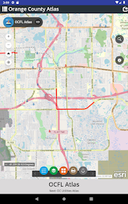
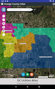
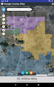
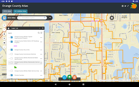
OC Utilities: An interactive map that allows users to see current Orange County Utilities capital improvement projects, service areas, roadway projects, city limits and Commissioner district boundaries.


